

The Old Rag Mountain hike in the Shenandoah National Park is one of the most popular hikes in the mid-Atlantic region. With many spectacular panoramic views, and one of the most challenging rock scrambles in the park, this circuit hike is a favorite of many hikers. But be prepared for the crowds. This is the only hike we give a
On the other hand, it's the only hike we give a
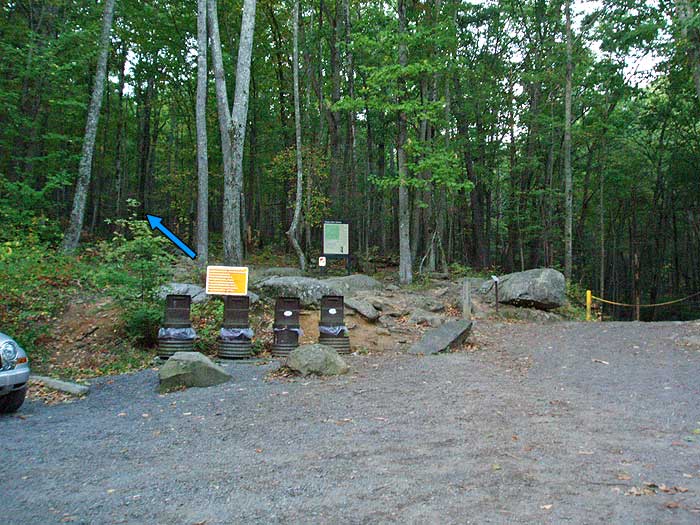
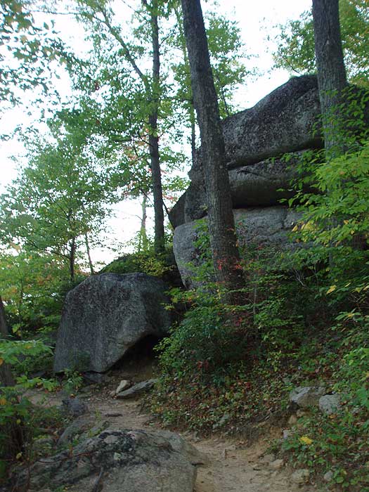
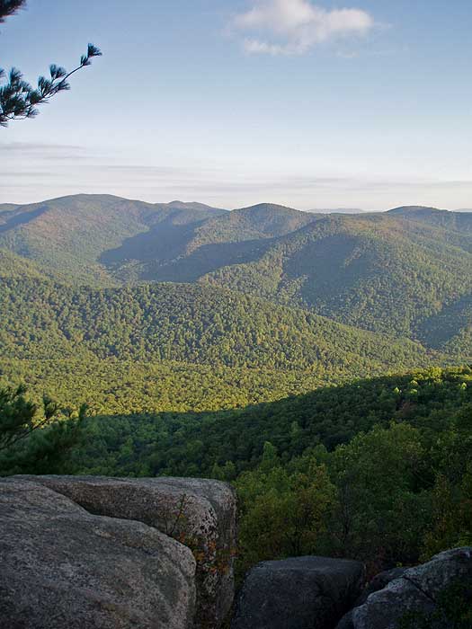
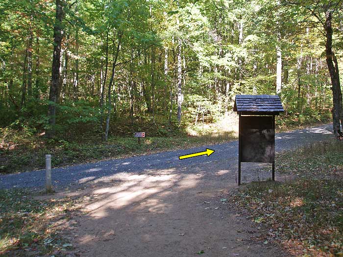
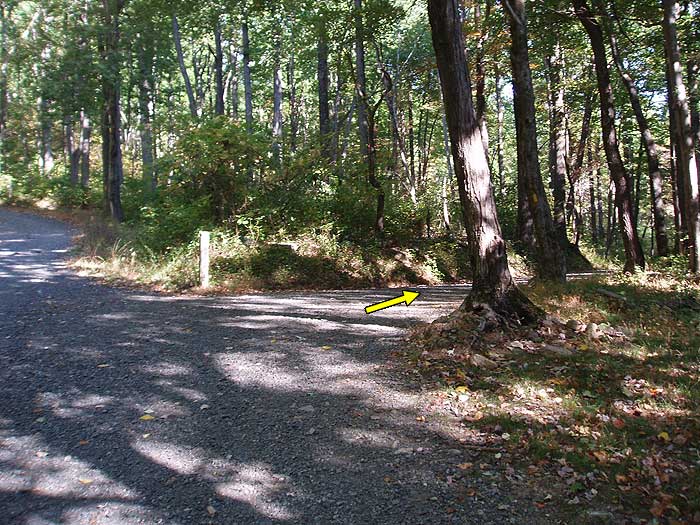
From the lower Old Rag parking area walk 0.5 miles up SR600 where it veers left and in another 0.4 miles ends at the Old Rag closed upper parking area. Turn left uphill on the blue blazed Ridge Trail next to the closed gate. The trail will gradually increase in grade and make nine switch backs before reaching the first of many view points in 1.9 miles. From the first vista point to the west, the Ridge Trail will become more rocky before reaching the main easterly vista on the ridge in another 0.2 miles.
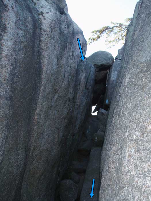
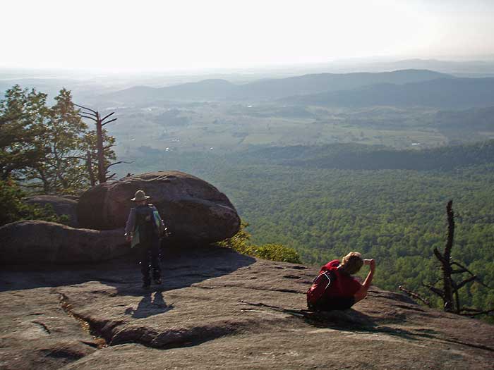
From this point to the summit in 0.9 miles, the trail becomes a rock scramble with narrow passages, and several spots requiring hand over hand climbing.
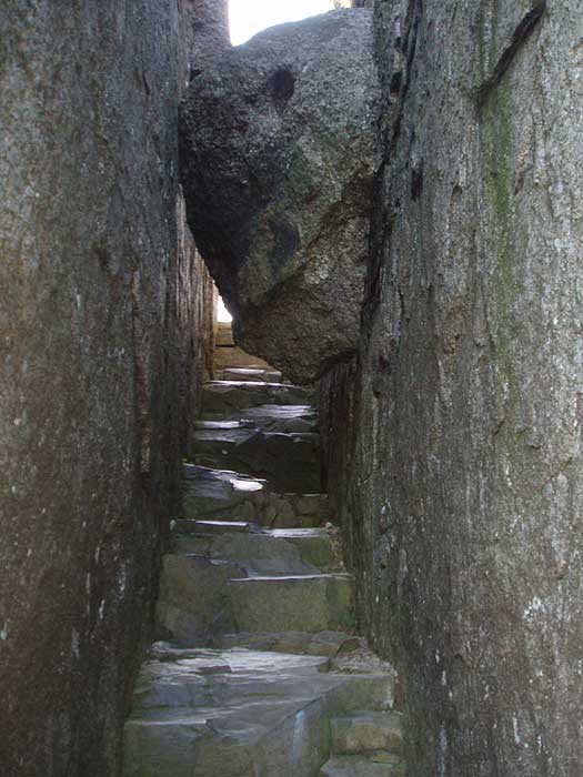
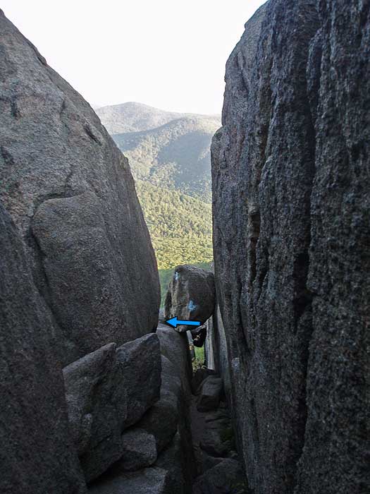
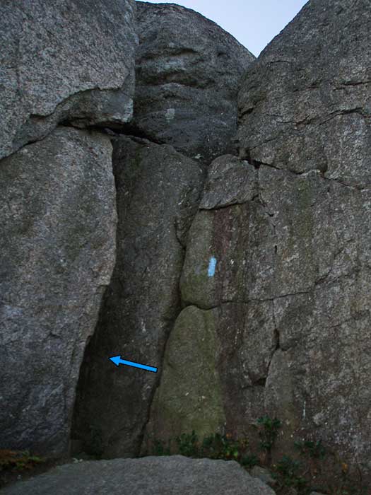
From the easterly vista on the ridge start up the rock scramble, with the first obstacle a 12ft deep small crackin the rock. Climb to the bottom and follow it out to the left. Continue following the blue blazes passing around to the easterly side of the ridge and through another crack where the trail meets a small cliff. From here, the trail will become increasingly steep going through a small cave, before reaching the minor summit where the trail turns left. Be careful to follow the blue blazes, as there are several false trails that lead to overlooks.
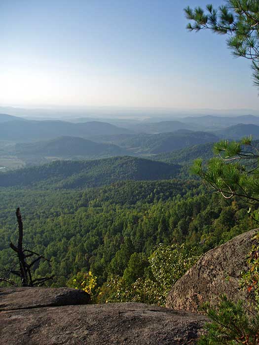
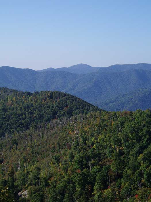
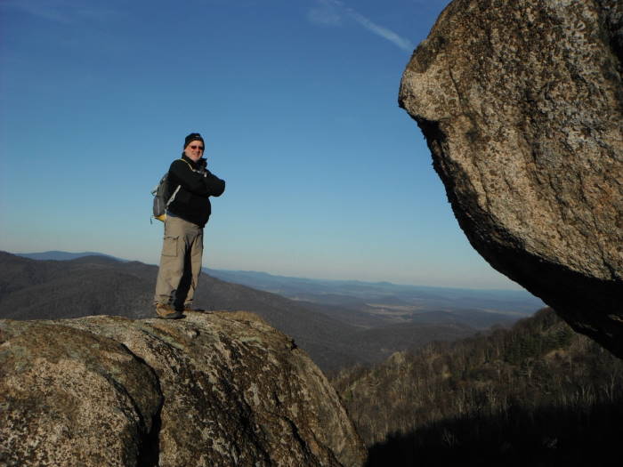
After passing around the minor northerly summit, the trail becomes less steep, but still requires rock-hopping for most of the remaining 0.3 miles to the true summit, where there are several points with 360° views.
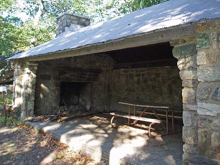
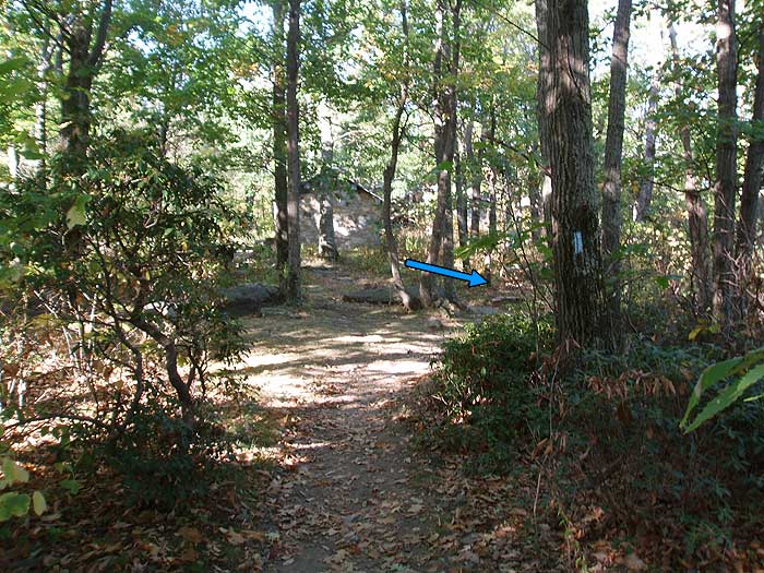
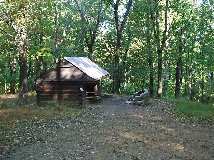
Continue south along the Ridge Trail now descending for 0.3 miles to the junction of the Saddle Trail andByrd's Nest Shelter. Turn right descending on the blue blazed Saddle Trail, then in 0.6 miles pass the Old Rag Shelter. Both shelters are available for day use only. From the Old Rag Shelter the trail widens and follows a forestry road for the 0.4 miles to the intersection of the Berry Hollow Fire road (left), Old Rag Fire Road (straight), and Weakley Hollow Fire Road (right).
Turn right downhill on the yellow blazed Weakley Hollow Fire Road. In 1.2 miles pass the Robertson Mountain Trail, and in another 200 yards the Corbin Hollow Trail. Continue along the Weakley Hollow Fire Road the remaining 0.8 miles back to the upper parking area.
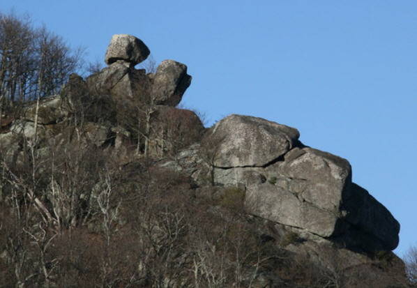
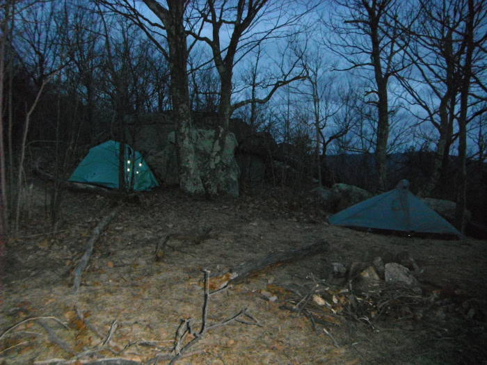
Byrd's Nest Area Scrambling:For some additional rock scrambling, consider a side trip near the Byrd's Nest Shelter to see the Balance Rockthat you can see from Old Rag and the Saddle Trail. About 20 yards from the shelter is a series of rocksworth climbing and to get a bearing (about 300 degrees with our compass pegged on North) to the Balance Rock, about 0.2 miles away. This will involve some bushwhacking, follow a visible path for about 50 yards or so beyond the first set of rocks and it will bear to the right near a campsite and take you below a cliff and the Balance Rock will be visible to the North West, mostly bushwhacking from this point to the Rock. We did not see an easy way to climb Balance Rock but with a little bit of effort we were able to get on the rock just below it for some great views. The coordinates for Balance Rock: N38.5505 W78.3236, the coordinates for the Byrd's Nest Shelter: N38.5501 W78.3211 |
No comments:
Post a Comment